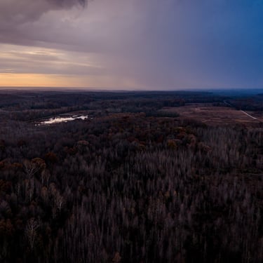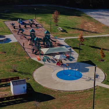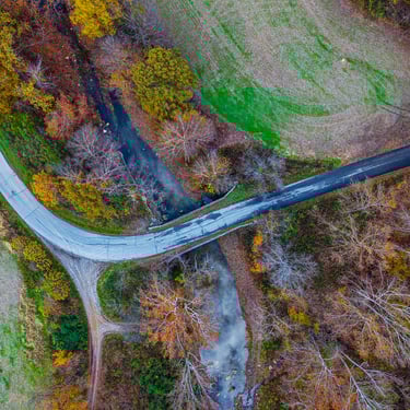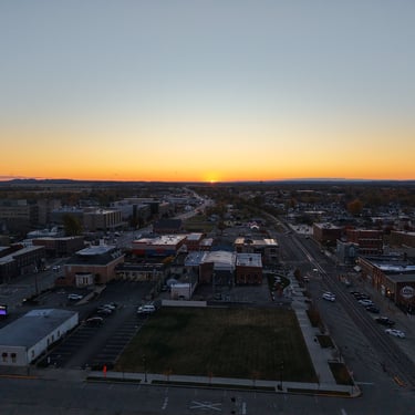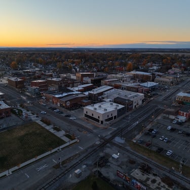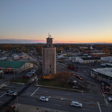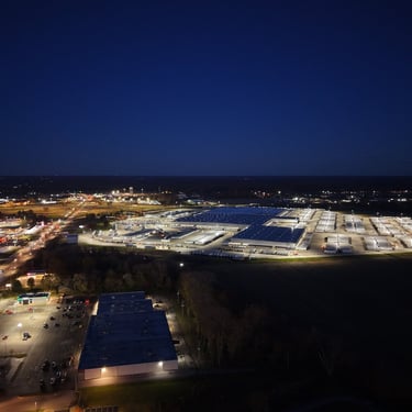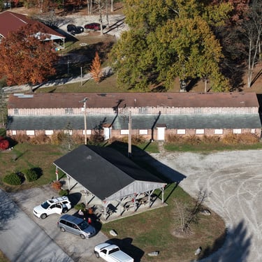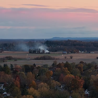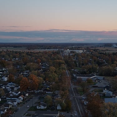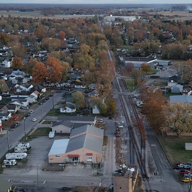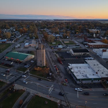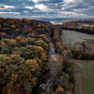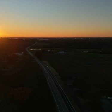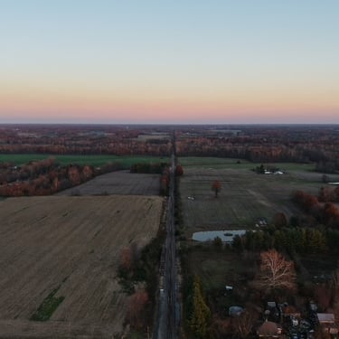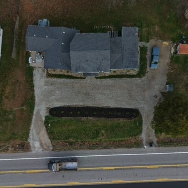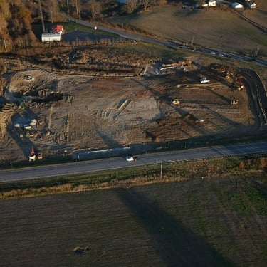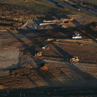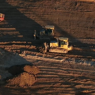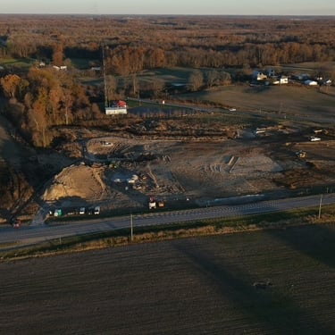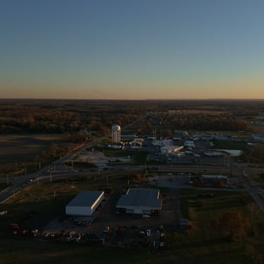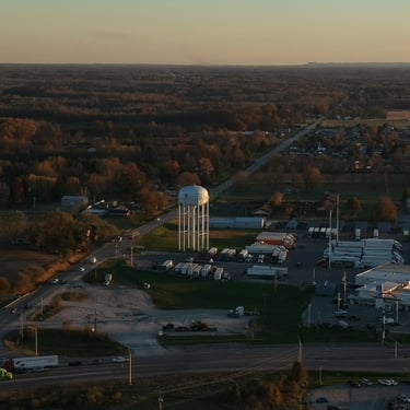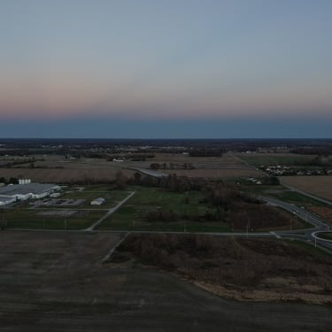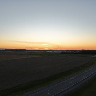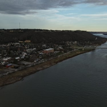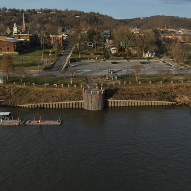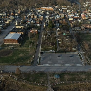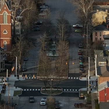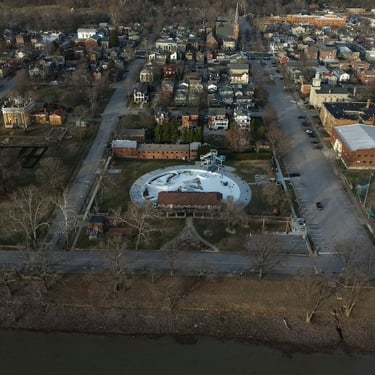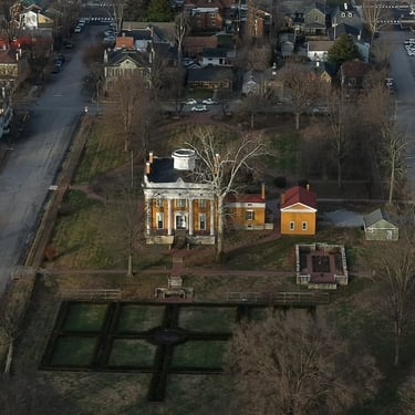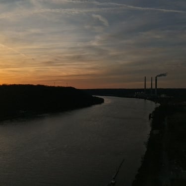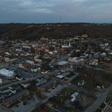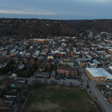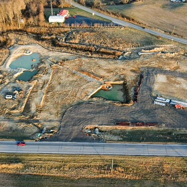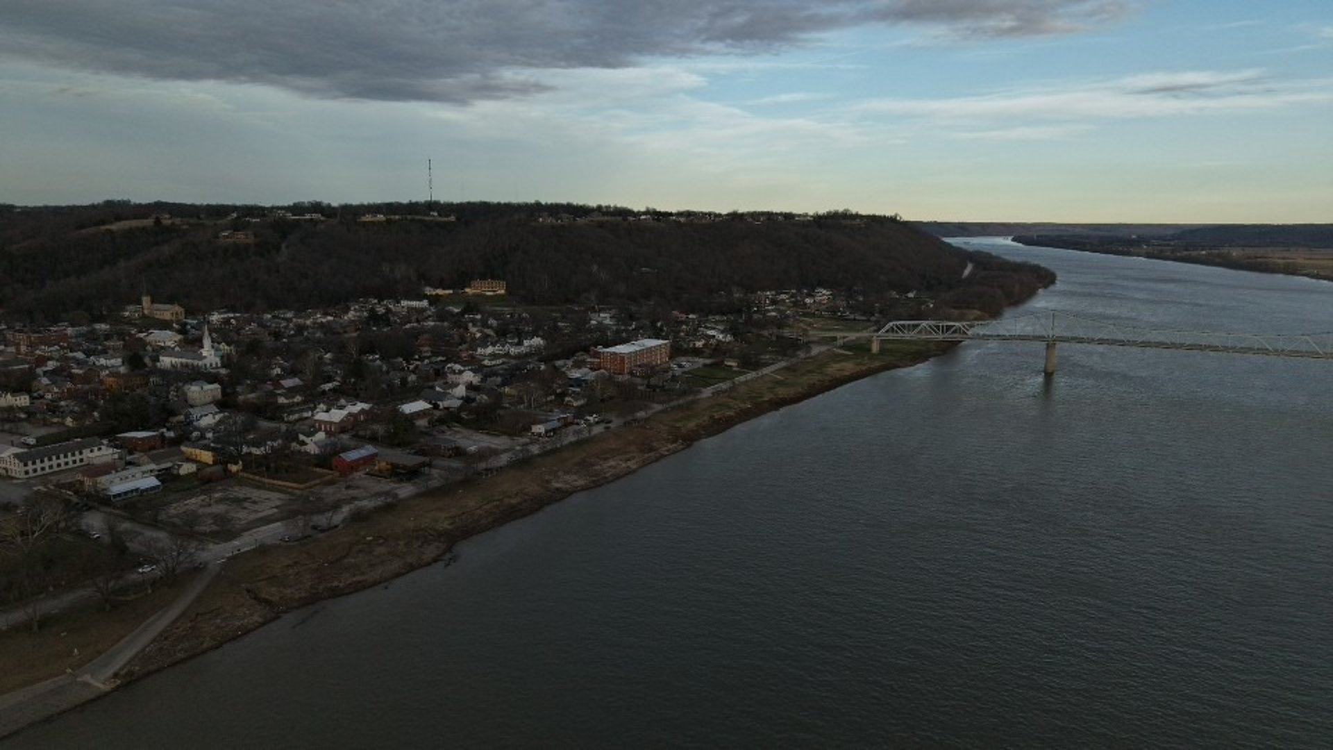
Straight Up Aerials showcases high-resolution drone photography, videography, inspections, and mapping from across Indiana. Browse our gallery to see real project results—construction progress, real estate, land surveying, infrastructure, and custom aerial work—captured by FAA part 107 certified drone pilot Nathan Engleking. Every image is shot with professional-grade UAV equipment for accuracy, clarity, and detail. Explore the view from above and see why Straight Up Aerials delivers reliable, data-driven aerial imagery for clients throughout Seymour, Indiana and surrounding areas.